The camera-toting crapaud is pleased to bring you another walking suggestion, inland this time, on paths that look fairly new and are certainly ones I've never explored before.
Parking is free at the new road "Rue Hamel" past the new estate at Rue de Jambart, if you can get a space then seize the chance...
.. a short stroll eastwards along the main road, and what always seemed to be just a farm track is apparently an official road from long long ago, called Rue Graut.
Sign says don't trample the crops and all is well.
The path climbs so gradually that even at the top it was a surprise how much altitude we'd gained.
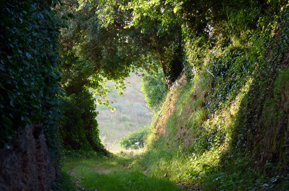
A tree-tunnel beckons...
.. then you eventually emerge...
.. at a clearing with a choice of proceeding ahead, or take a quick dead-end detour back southwards, but up to a field with a view...
.. the church between Christmassy trees - could be a good shot in mid-winter with snow in the equation :)
A nice view to the sea over the farm...
(this being the vantage point taken later in the walk)
.. Icho Tower in still waters.
Back to the original path, and it continues at the side of a field rather than a dedicated track. You may spot a path signpost over the hedge to the left and wonder if there's another path...
.. but no, at the end of the field we turn left, do a '180' and head back south again, then head along a straight up to the lane.
A view of Platte Rocque's Tower from the lane Rue Laurens.
From here you can cut the walk short and head back down the lane to the Church, or take a right along another field-side walk (and past a mobile phone mast if you're looking for a landmark) with Clos de Roncier in the near distance.
That little walk will take you to Rue du Pignon... head sea-wards down and take the first left into La Verte Rue, then after a brief look at St.Clement's Millennium Stone...
.. take the well signposted (!) footpath down to the church.
On the way back to the parking, you may spot an antiquity that is all too easy to have driven past thousands of times without ever noticing. Funny how much more you see on foot!




 .. a nice view of the fairways.


 Benests of Millbrook (map) has had a bit of a make-over, windows frosted to spoil the view... I haven't dared go inside as I'd rather remember it as it was :)
 Heading into town from Benests, these houses at Millbrook (map) are where the church used to be with the large Christ on a cross.


 On the other side of town, some elegant new houses (map) on the Route du Fort where the Laurels Hotel once was (still listed on many hotel websites like the Grange Court over the road which has been flats for ages now!).


