Between St.Brelade's Bay and Ouaisne ("way-nay") lies a small break in the sweep of the bay, a wooded area called Le Grouin where the Germans created a strongpoint. There's plenty to see here, so it's one of my main recommended occupation areas to visit, just slightly behind Noirmont, Corbiere and Les Landes. The approach is just as easy from the mainly unspoilt Ouaisne side or the built up beach resort side - so I won't make any recommendations.
 |
| Le Grouin from the virtual air | |
On the St.Brelade's side it may be tricky to park in the height of summer but the walk along the prom will be pleasant; on the Ouaisne side you've got a narrow hill where it's almost certain you'll meet several cars coming the other way but it's a far more natural walk from the spacious dirt surface car park and you may even spot some green lizards basking in the sunshine along the path. There are pubs, restaurants and ice-creams to be had on either side of Le Grouin.
On the Ouaisne side, a Type R631 casemate. From the beach you may spot a fake loophole in the sea wall not far from where I was standing.
On the west side of Le Grouin (known as St.Brelade's Bay although technically both bays make up a larger St.Brelade's Bay!) an R680 sealed up.
Down at the coast at Le Grouin is a collection of structures well worth exploring...
.. and there's more a little higher up (machine gun table and tobruk here)..
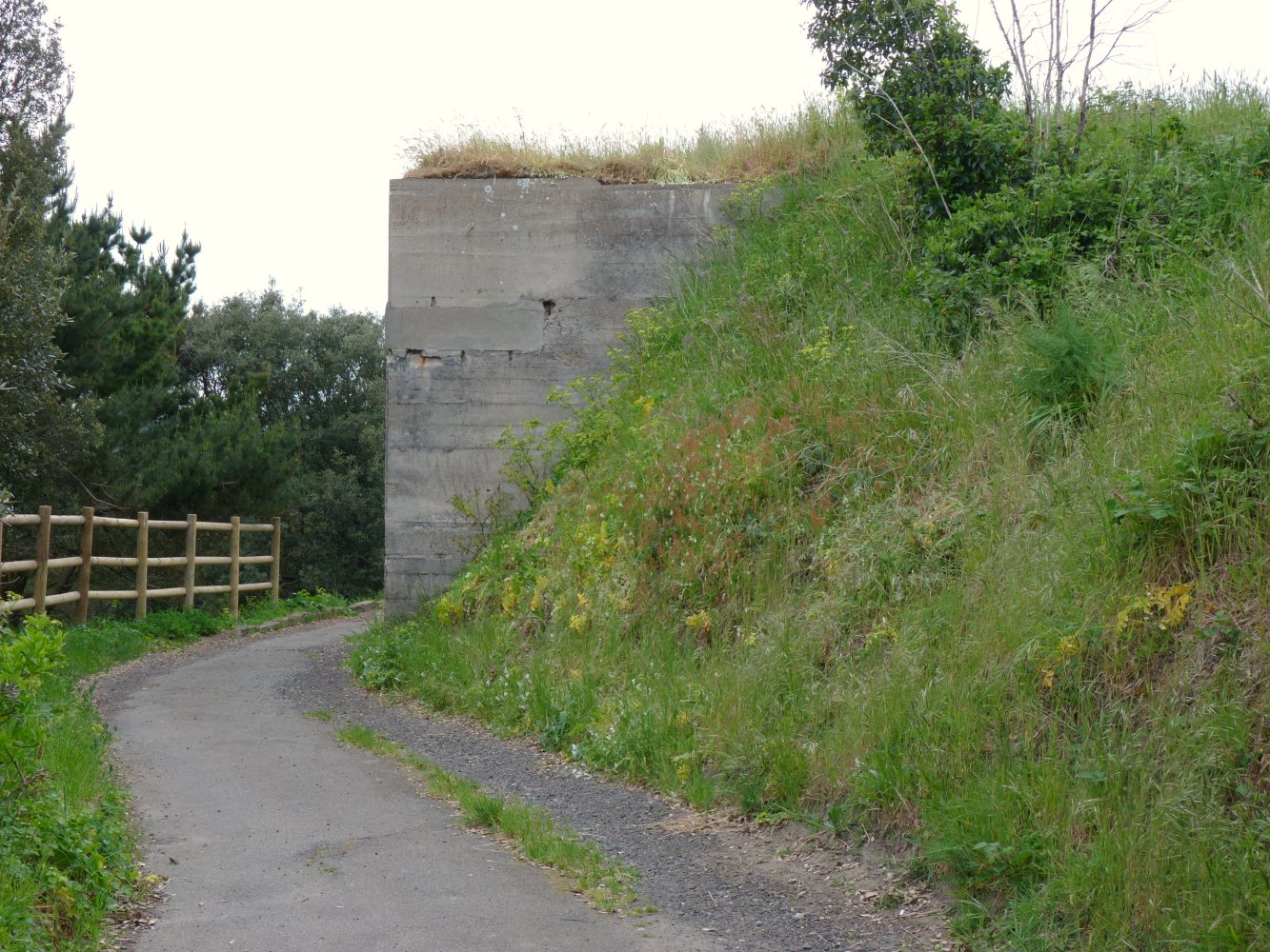
.. and even more up in the woods. This one isn't too fascinating...
.. this one gets far more love. Note the ruin of an old guardhouse from the 1700s top left, a passageway cut into the rock for another position, and in the foreground a shelter with two routes in/out...
.. of here.
Cut into the rock, a mortar position?
Meanwhile, on the other side of the old guardhouse ruin, another shelter...
.. inside...
.. and below that, close by, this mostly buried heavy MG position. Note, the fence, what there is of it, indicates that this side of the guardhouse may be private land. Make of that what you will.
Now willing to explore further, we made our way right down to the attractions on the lowest level here. A PaK (anti-tank gun
Panzerabwehrkanone) operated here and was stowed away...
.. amongst this lot...
.. here in this garage.
Shelter...
.. inside a shelter, must admit I've forgotten which one now!
If you venture up above the hexagonal tobruk you'll find even more...
.. and more. And another one or two I failed to snap at the time :)
And finally, a look down from the 631 at the narrow old slipway that the German bunker builders covered up, on which rests some of the bunker stone camo that has fallen off.
Strongpoint Le Grouin - rating 4.5 stars out of 5 - a Must See for visitors.
See Le Grouin from a distance here
crapaudmatic.blogspot.com/2009/01/back-to-stbrelades-beach.html on the way back from Le Coleron Battery at the western end of the bay
crapaudmatic.blogspot.com/2009/01/le-coleron-battery-st-brelade.html
More views of the bay and the breakwater
crapaudmatic.blogspot.com/2009/01/st-brelades-bay-and-breakwater.html
Return to bunkers index page