Showing posts with label Footpaths. Show all posts

Wednesday, 12 February 2014

Landslip at St.Catherine closes footpath to Flicquet

There was a "blink and you'll miss it" mention on the BBC TV news yesterday (especially if you'd just turned over from Channel Report and missed the start), with a single static shot that didn't really give much of a clue where the landslip happened. Here's a wider view you'll probably recognise, as you drive into the loop road and pass the car/boat park on the right...

.. closer. I stood there once to take some photos :)
Any critters that lived under there aren't going to live to tell the tale.
So that's the Ruelle du Verclut footpath out of action for a while. I hope that they reroute around the damage soon.
Not far away, TTS mend the storm-damaged slipway near the white tower.

Wednesday, 29 January 2014

Resistance Nest Ville au Bas

This cluster of WWII bunkers got a mention on the recent page about the Civil Defence bunker in town. I couldn't resist a look around the area. These two half buried bunkers can be seen from the lane Cache de l'Eglise, but here we seen them from the other side - from what appears to be a footpath or bridleway which runs from the first bend in the track to Leoville MRC (gun club) and turns into a farm track emerging at the junction of Rue a l'Eau and Les Ruettes to the north.

The back of the larger bunker seen from the road.
Another, NW of the rifle club...
 .. and one south of that one, a hump in the field with an entrance like this.
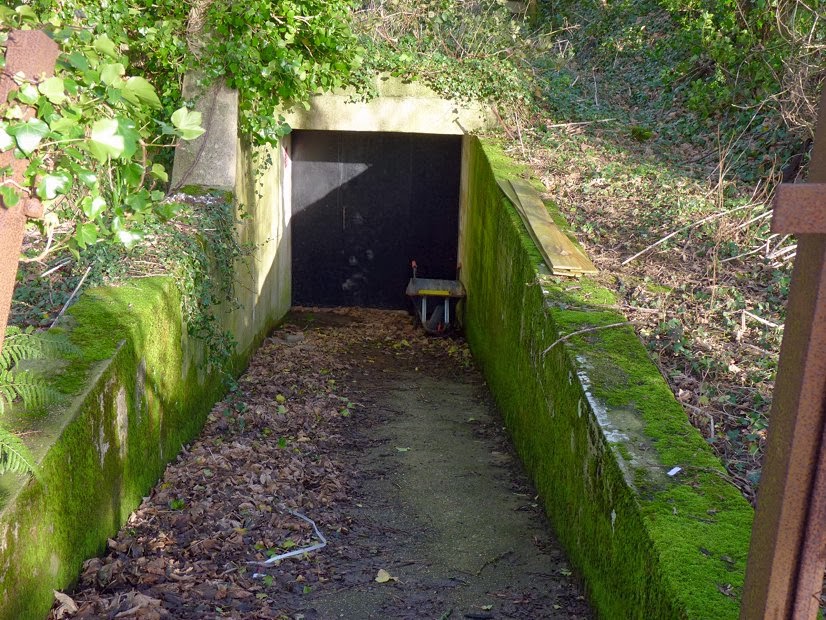
Amongst the trees by the clubhouse, more bunkers, including this one down a ramp, with a broken fence and gate. Yes, this was the Civil Emergency Monitoring Post at St.Ouen.

There is also something concrete to see at the roadside in Rue de la Cour although it doesn't show up on Streetview.

If the footpath really is a public Right of Way, then it won't be unusual for people to be walking about here... enjoy!

Saturday, 20 July 2013

Circular Walk - St. Clement's Country Trail

The camera-toting crapaud is pleased to bring you another walking suggestion, inland this time, on paths that look fairly new and are certainly ones I've never explored before.
Parking is free at the new road "Rue Hamel" past the new estate at Rue de Jambart, if you can get a space then seize the chance...
.. a short stroll eastwards along the main road, and what always seemed to be just a farm track is apparently an official road from long long ago, called Rue Graut.
Sign says don't trample the crops and all is well.
The path climbs so gradually that even at the top it was a surprise how much altitude we'd gained.
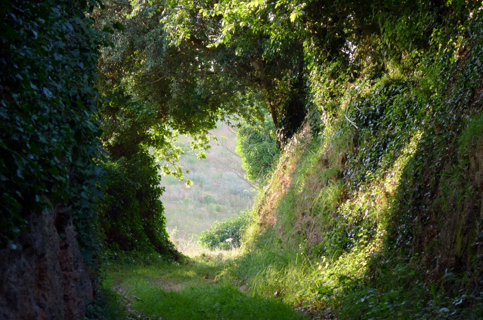
A tree-tunnel beckons...
.. then you eventually emerge...
.. at a clearing with a choice of proceeding ahead, or take a quick dead-end detour back southwards, but up to a field with a view...
.. the church between Christmassy trees - could be a good shot in mid-winter with snow in the equation :)
A nice view to the sea over the farm...
(this being the vantage point taken later in the walk)
.. Icho Tower in still waters.
Back to the original path, and it continues at the side of a field rather than a dedicated track. You may spot a path signpost over the hedge to the left and wonder if there's another path...
.. but no, at the end of the field we turn left, do a '180' and head back south again, then head along a straight up to the lane.
A view of Platte Rocque's Tower from the lane Rue Laurens.
From here you can cut the walk short and head back down the lane to the Church, or take a right along another field-side walk (and past a mobile phone mast if you're looking for a landmark) with Clos de Roncier in the near distance.
That little walk will take you to Rue du Pignon... head sea-wards down and take the first left into La Verte Rue, then after a brief look at St.Clement's Millennium Stone...
.. take the well signposted (!) footpath down to the church.
On the way back to the parking, you may spot an antiquity that is all too easy to have driven past thousands of times without ever noticing. Funny how much more you see on foot!

Wednesday, 20 March 2013

Path - Swan Farm to Grands Vaux

For years I've always wondered, coming down Langley Ave., is there a way up into those fields, any footpaths?
The answer is Yes, I recently discovered. There's a No Through Road called Swan Farm Lane, heading down from the exit of Grainville School's road...
At the end, Swan Farm. And to the left, an official Public Footpath to Grands Vaux...
.. so I got to stand behind that phone box at last :)
 A Bing map to illustrate what's what.
On the footpath. looking back at Langley Avenue...
.. to the right from that shot, a view over a field lets us see a distant Elizabeth Castle, amongst St.Helier's taller buildings.
Heading away from the official path, on what seems to be Permitted Access along a track between the fields.. the view back to the road where I had always wondered...
.. and there's an entrance, of sorts, to the grounds of Grainville School.
A bit farther along the track, and it emerges on the corner of Deloraine Road, at the top of the one-way hill.
Down said hill to Grands Vaux school, an old Cross...
.. and I took a detour to admire the streams below the reservoir...
.. a charming old house...
.. and a footpath opposite the GV primary school takes us behind Willow Grove to the depths of Pillar Gardens.. and another path goes right behind the houses and the woodland to emerge near the steep driveway to the Youth Center as seen here from just off the main road. The pathway back to Swan Farm is easily spotted off the car park around the corner up this road. All in all a rather pleasant bit of exploration for Team Crapaudmatic, and just goes to show that even after all these years there's still more to see! :)

Tuesday, 4 September 2012

Misc, load of bollards

 Time to get out of the way some misc shots from the last few weeks...  Grouville beach and common...
 .. closer.
 You don't see so many of these any more, so I thought I'd snap one for old times sake, while there's still one left (Rozel - also one at La Place).
 Looks so lonely without anyone in costume around it :)
 The joy of Jersey, you drive around a corner in a lane and suddenly a view like this presents itself.
 The Dolmen Hougue des Geonnais - I can't help thinking it was a bit more open with less gorse around it last time I was there a few years back?
 Having found a way down a farm track (or three) to the coastal path, a quick shot of the coast in the evening light...
 .. Devil's Hole from a distance...
 .. and the reservoir building at Mourier Valley (there's often a good waterfall here, when the water table permits, going over the cliff onto the pebble beach).
 A tower in Grouville that's currently involved in plans to build a load of new homes around it.
 The path from the slipway near the Seymour Inn, starts as it means to carry on, but then gets narrower and narrower with hedges intruding, and finally gets impossible so we have to climb down to beach level (tide permitting of course).
 Eventually you end up on the beach for lack of a path, but you can nip back to the main road some way before Le Hurel Slip, using this footpath, to shorten a quick circular walk.
Originally, Oxford Road was a fairly long and winding affair, shown in yellow here... (Also in orangey colour, L'Avenue et Dolmen du Pré des Lumières and La Rue Le Masurier which are nearly 20 years young... they were created in the mid 1990s, the Coop Grande Marche was opened in Nov 2001, and the roads officially classified as Main Roads in 2002, La Rue Le Masurier now being part of the tortuous route of the circulatory systems of the ring road)...

 ... it cut through the middle of the Gas Place car parks. Now the new Town Park has done away with a stretch of it, leaving us with an absurd little stump of Oxford Road separated from the rest! Perhaps it could be more logically incorporated into Robin Place?
 Still, at least it's not the shortest road in Jersey, which possibly goes to Le Passage Gosset by the museum - little more than a parking space!
 While we're in the new park, here's the view towards David Place showing a path on what was part of Oxford Road...
 .. and the other way, a view featuring what's left of the gas holder - for how long?
 A park of tellytubby grassy knolls and some art installations. Definitely worth millions ;)
 .. except for local businesses who found their customers can't get there easily any more. The cafe here is still going, but the hair salon closed. Note also the over-the-top expensive paving, only recently finished and already marked by tyre rubber. No expense spared, but give us a pavement way too wide and do away with even more parking :(
 As if it wasn't bad enough, now it's sprouted some large signs!
 Railings, railings, railings...
 .. the spread of micromanagement and more and more bollards...
 .. now making an utter eyesore of the Weighbridge!
 Dear oh dear oh dear ... was the occasional parking there really so bad that this is better?!
Trust a private development to make their bollards interesting - this new batch at new offices on the old Swanson's site next to Payn St. (Esplanade to Seaton Place)... nicely varied and subtle... 10/10.