Let's have a look down our own "Egypt" - starting from the
end of this road (Streetview)...
I see no desert or pyramids, but hey.
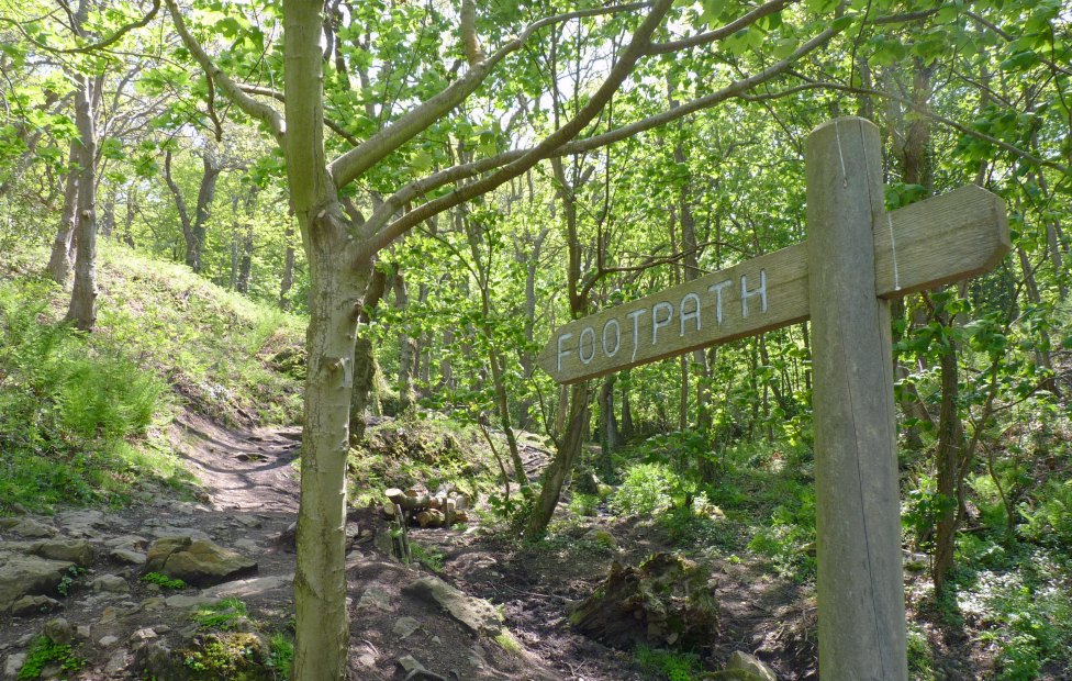
The footpath is actually a track, navigable by a robust vehicle, all the way down to the memorial that we'll see in a moment. From a bend in the track, before we've dropped too far in altitude, we get a glimpse along the coast eastwards to
Vicard Pt. (Bing sat view)
On the inland side of the next run of track, an old ruin. Hard to not try to imagine who lived here, when, for how long, how they lived, etc. What would they make of their old fireplace now? :)
Before heading down the final straight(ish)...
.. another path heads up to the east and it's quite a trek to Bouley Bay.
Bluebells by the stream.
.. and we finally reach an old cottage and war memorial at Petit Port.
The view.
Dedicated to the British and French commandos who landed here in Christmas 1943 for a reconnaissance raid called Operation Hardtack 28. Commanding officer Captain Philip A Ayton
was seriously wounded by stepping on a landmine as the group returned to
the beach. Sadly he died the following day.
More recently, a bench dedicated to the Special Boat Service.
An old cottage now called Wolf's Lair,
maintained by the Jersey Canoe Club.
Wonderfully peaceful place for a camp fire.
Looking east.
The path down to the beach is part path, part stream. Tricky!
Leaving Petit Port behind, it's now just standard cliff path
(looking back, trying to make use of the yellow gorse in the shot)...
.. with an old section too close to the edge, now cordoned off and re-routed.
This coastline is "Les Rouaux", and we're heading west towards Belle Hougue Pt.
They hover in one place so well that it's not too hard to take a snap.
At this time of year the grass isn't too trampled, so it's like a nice green carpet sometimes - and the bracken hasn't taken over the slopes yet. It gives the north coast a quite different feel to what you see later in the season, so it's well worth a hike on a nice day.
From here you can keep to the footpath to Bonne Nuit, or one long straight climb takes you back up to
a corner of La Rue d'Égypte (Streetview).




 By the green/white house, over the road is an area of parking where an ice-cream van plies its trade in the warm months.


